BCC
3.4200


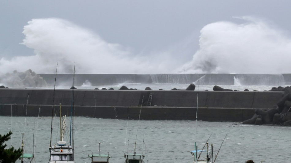
A tropical storm slammed into Japan's main island early Tuesday, bringing violent gusts and downpours that have already caused rivers to surge and prompted landslide warnings.
Although downgraded from a typhoon, Lan still roared in from the Pacific, heading for the commercial hubs of Osaka and Kobe while packing gusts up to 144 kilometres (90 miles) per hour along with torrential rain and high waves.
It made landfall on the main island of Honshu shortly before 5 am (2000 GMT) in Wakayama prefecture, about 600 kilometres (375 miles) west of Tokyo, the Japan Meteorological Agency said.
As much as 35 centimetres of rain was expected in some areas during the 24 hours to Wednesday morning, the agency said.
"The typhoon's speed is slow and the duration of its impact in (central and western regions) could become extended. The total rainfall (in some areas) may exceed the average monthly rainfall in August," the weather agency tweeted.
"Please exercise extreme caution against landslides, surging water in low-lying areas, swollen and flooded rivers and violent winds," the weather agency said in a warning issued for numerous areas.
At least 50,000 households in seven regions had lost power as of Tuesday morning, according to a local utility.
Flying debris stopped local commuter trains, while flights and express trains were suspended as planned.
Japan Airlines cancelled 240 flights, particularly those serving the western hub of Osaka. Its rival ANA cancelled 313 flights.
Local governments issued non-compulsory evacuation instructions to more than 180,000 residents, especially in Wakayama, Kyoto and the ancient capital of Nara.
The weather system was set to spend all of Tuesday sweeping over the region, before moving out to the Sea of Japan.
P.McDonald--TFWP